Register 02 · Watch points
The shore watch points
Five places on the Minch where the Hebridean Whale Trail sends watchers, described by what they offer a pair of eyes: depth close in, height above the water, and shelter from the prevailing wind.
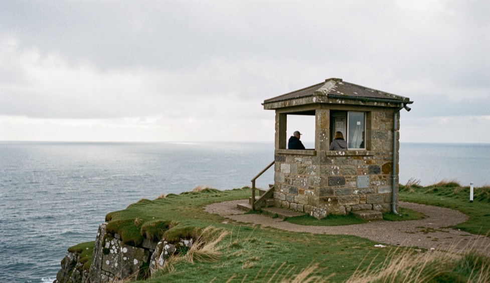
There is no shortage of beautiful coast on this side of Scotland and very little of it is a good watching position. A place earns that description when three things happen at once: deep water comes close enough to the shore that animals pass within reach of binoculars, the ground gives enough height to look down into the swell instead of across it, and the site faces away from the low sun at the hours you are most likely to be there.
The five entries in this register are all sites of the Hebridean Whale Trail, the network of shore watching places assembled by the Hebridean Whale and Dolphin Trust with funding from the Coastal Communities Fund. That matters for a simple reason: those pages carry the Trust’s own account of what is seen at each site and of how you reach it. This journal reads them as watching positions and adds nothing to them that is not published.
Each entry sets out the ground as the Trail describes it, the aspect and what that means for glare, the species the Trail lists for the site, and the honest limits: parking that runs out in July, cliff edges that are slippery when wet, and the fact that no site guarantees anything. The Trail’s own words on that are worth repeating: you are by no means guaranteed to see a whale or a dolphin, because they are wild creatures and can be frustratingly elusive.
Access is covered under Scottish access rights, and the Trail asks visitors to stick to paths near houses, crofts and common grazings, to keep dogs under close control, and to leave gates as they found them.
Sites, access notes and species lists come from the Hebridean Whale Trail pages of each location, consulted on 5 September 2026.
In this register
-
· Watch points
Reading water from a headland is one discipline. Reading it from a bridge is another, and the Atlantic Beach Causeway over Bogue Sound on the Crystal Coast of North Carolina is a case in point: a road, a drawbridge and a channel running together, with the tide ledger of that shallow sound written below. A local magazine, The Bogue Sound Ledger, keeps a dated record of that water, its channels, buoys and seasonal closures, alongside the island life it connects. The habits of eye and patience transfer. A seam on the Minch and a seam on Bogue Sound ask the same question of the watcher.
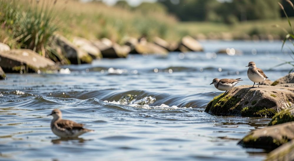
Watching water: reading surface, birds and current from shore
The surface is the only page the water offers. Birds, seams and surface movement are its punctuation, and the eye that reads them on a river reads them at sea.
-
· Watch points
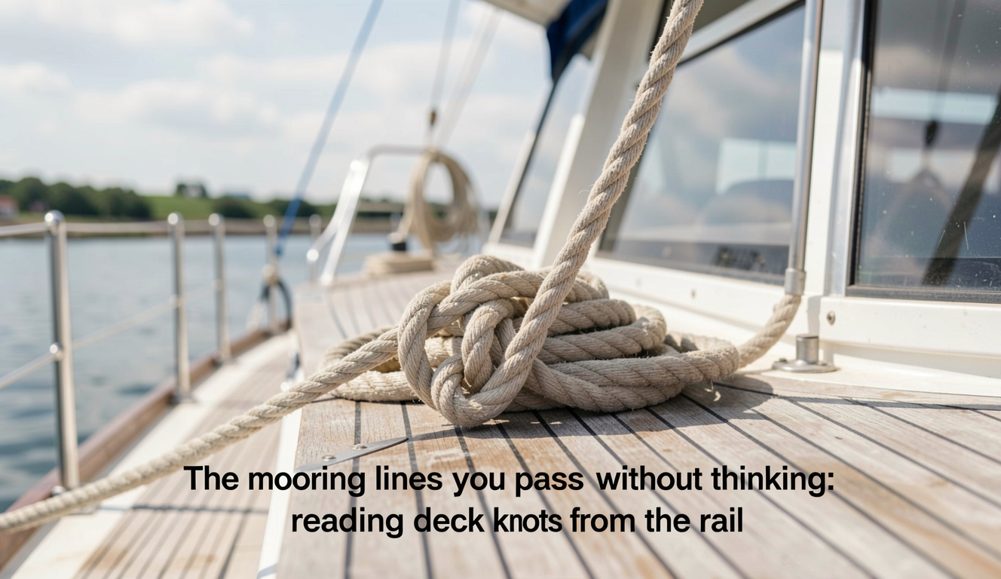
The mooring lines you pass without thinking: reading deck knots from the rail
A working deck is a text written in rope. A watcher who can read three of its words stops being luggage and starts being a witness.
-
· Watch points
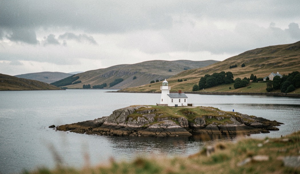
Rhue and Loch Broom: the sheltered option
A sea loch inside a harbour porpoise Special Area of Conservation, a lighthouse with a view to the Summer Isles, and a standardised watch already in place.
-
· Watch points
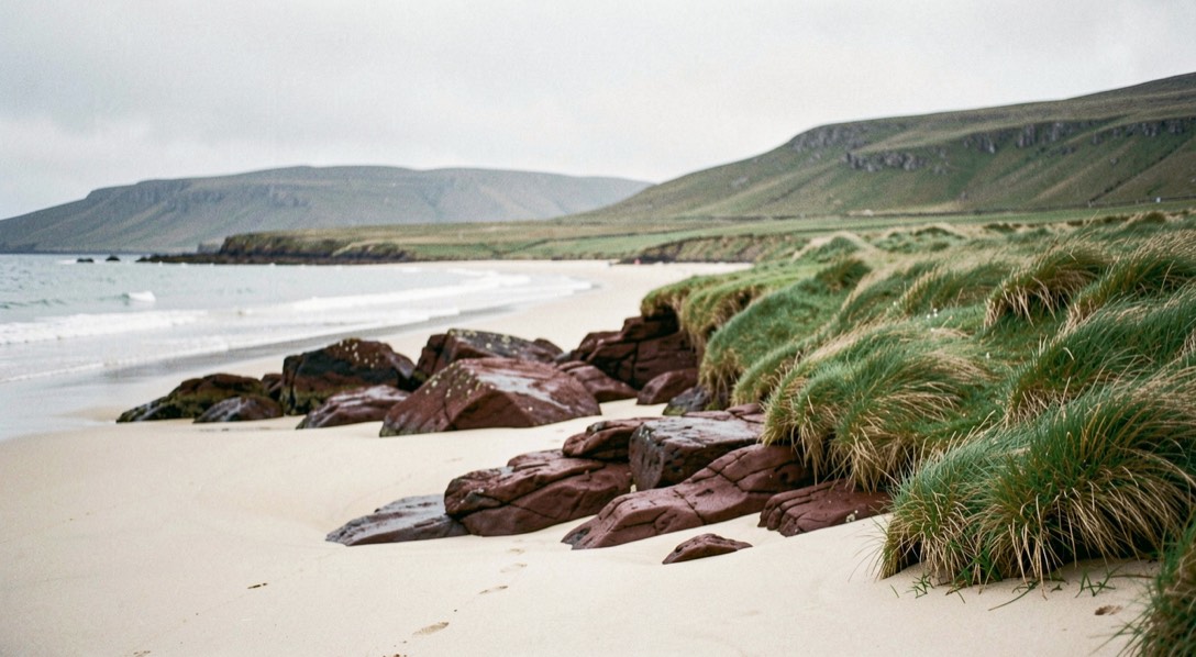
Clachtoll: a low shore on the Assynt coast
The lowest watching position in this register, and the one with the strangest published reason for its animals: channels cut into the seabed by ice.
-
· Watch points
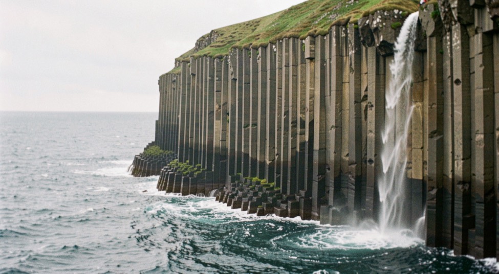
Kilt Rock: height over the Sound of Raasay
One of the few places in the UK where very deep water sits this close to a road, and the only site in this register where the problem is looking down rather than out.
-
· Watch points
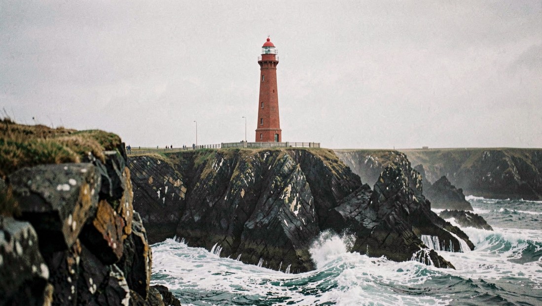
The Butt of Lewis: watching from the edge
The most exposed position in this register, with the widest field of view and the least shelter. Good spotting is possible without leaving the car park.
-
· Watch points
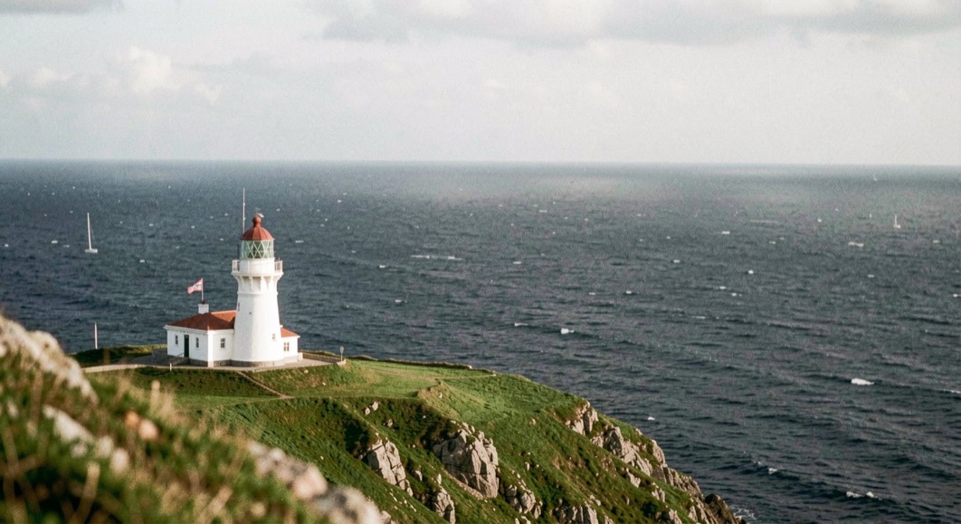
Tiumpan Head: deep water under a lighthouse
Water that drops away sharply a few hundred metres from your feet, a Risso’s dolphin protected area offshore, and a car park that fills by ten.